

Most Arizona trips crowd the Grand Canyon’s South Rim, Sedona, Antelope Canyon, and Monument Valley, where parking fills early and permits sell out months ahead. Shifting to lesser-visited parks and historic towns cuts crowds while matching elevation and road limits to your travel style.
Anchoring your itinerary in four regional hub towns keeps most daily drives under two hours. Separating low-desert basins from 5,000-to-7,300-foot mountain plateaus also lets you time each region for safe daytime temperatures.
Base Towns and Regional Loops Beyond the Grand Canyon
Rather than crisscrossing the entire state in one rushed week, pick one or two regional clusters built around flat, full-service hub towns. Grouping nearby stops reduces highway fatigue and gives you flexible mornings if weather shifts.
Southeastern Sky Islands and Historic Mining Towns
Base yourself in Benson or Willcox to reach Chiricahua National Park, redesignated from a national monument in October 2026 with year-round fee-free entry. Its volcanic rock spires rise across a 5,124-to-7,310-foot sky island range roughly 36 miles southeast of Willcox.
Nine miles south of Benson sits Kartchner Caverns State Park, an easy half-day stop with climate-controlled underground rooms. Continue south to Bisbee for Brewery Gulch and the underground Queen Mine Tour, or head south of Tucson to browse gallery courtyards in Tubac.
Chaining these stops together works smoothly on a five- or six-day loop using a paced multi-stop road trip plan. Tucson serves as the closest major airport gateway with full medical services and rental fleets.
Organ Pipe Cactus, Canyon de Chelly, and the Verde Valley
In southwestern Arizona, Ajo provides lodging and fuel 35 miles north of Organ Pipe Cactus National Monument. This Sonoran Desert preserve protects dense stands of multi-armed organ pipe cactus along quiet desert bajadas far from Phoenix traffic.
In the northeast, Chinle sits right outside Canyon de Chelly National Monument on the Navajo Nation. Visitors can drive paved North and South Rim overlooks independently before hiring an authorized Navajo guide to enter the canyon floor.
In central Arizona, Cottonwood offers flat valley lodging near Verde Valley wineries and Tuzigoot National Monument. Staying in Cottonwood avoids Sedona’s peak-season gridlock while keeping hillside Jerome just eight miles uphill.
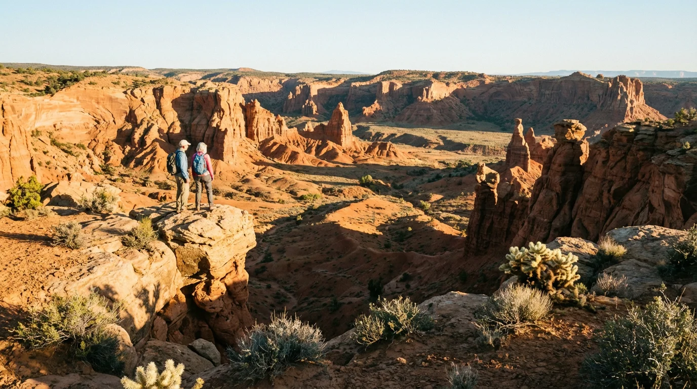
Comparison of Lesser-Visited Arizona Parks and Towns
Elevation dictates which months feel comfortable outdoors, while terrain and road widths decide whether a stop suits a standard sedan, an RV, or a traveler avoiding stairs.
| Destination | Region and Elevation | Best Season | Mobility and Access Reality | Nearest Hub Town |
|---|---|---|---|---|
| Chiricahua National Park | Southeast (5,124-7,310 ft) | April-June, Sept-Oct | 8-mi paved drive; 0.2-mi accessible trail | Willcox (36 mi) |
| Organ Pipe Cactus National Monument | Southwest (1,000-4,800 ft) | Nov-March | 21-mi gravel/paved loop; flat visitor trails | Ajo (35 mi) |
| Canyon de Chelly National Monument | Northeast (5,500-7,000 ft) | April-May, Sept-Oct | 10 paved rim overlooks; floor by guided tour | Chinle (3 mi) |
| Tuzigoot National Monument | Central (3,400 ft) | March-May, Oct-Nov | 0.4-mi paved marsh trail; steep pueblo climb | Cottonwood (3 mi) |
| Kartchner Caverns State Park | Southeast (4,700 ft) | Year-round (guided cave tours) | 0.5-mi paved cave walkways; 1.5-1.75 hr tours | Benson (9 mi) |
| Jerome | Central (5,000 ft) | March-May, Sept-Nov | Steep street grades; multi-story outdoor stairs | Cottonwood (8 mi) |
| Bisbee | Southeast (5,500 ft) | March-May, Sept-Nov | Sloped streets; Queen Mine uses mine train | Sierra Vista (24 mi) |
Road Restrictions, Rental-Car Traps, and Steep-Town Mobility
Apache Trail (SR 88), Ajo Mountain Drive, and Chiricahua Limits
Standard cars and RVs can drive the paved western stretch of the Apache Trail (SR 88) east of Phoenix to Canyon Lake and Tortilla Flat. Note that Canyon Lake is closed from September 2026 into early 2027 for dam work.
Beyond Milepost 222 at Fish Creek Hill, SR 88 becomes a steep, narrow, unpaved cliffside grade signed for four-wheel-drive vehicles only with no trailers. RVs are prohibited there, and taking unpaved roads voids most rental-car contracts.
Length caps also affect two national park loops. At Organ Pipe Cactus, the 21-mile one-way Ajo Mountain Drive mixes asphalt and graded gravel and prohibits vehicles and RVs over 25 feet, including trailers.
At Chiricahua, the 8-mile paved Bonita Canyon Scenic Drive to Massai Point bars all trailers and vehicles over 24 feet past Bonita Canyon Campground. Check RV route clearance and length planning before turning onto canyon spurs.
Sedona Byways vs. Airport Road and Border Checkpoints
Drivers passing through Sedona should use the 7.5-mile Red Rock Scenic Byway on SR 179 or SR 89A through Oak Creek Canyon for true scenic pullouts. Do not mistake Airport Road for a scenic byway.
Airport Road is a narrow municipal access road where pedestrians are banned, leading to a tiny four-to-six-space pullout and the Sedona Airport Scenic Overlook parking lot ($3 per day). Arrive an hour before sunset to find a space.
Because Organ Pipe Cactus National Monument borders Mexico, travelers pass U.S. Border Patrol checkpoints along SR 85. Carry government-issued photo ID (plus passports for non-U.S. citizens), obey monument road closures, and check park alerts before driving backcountry routes.
Stairs, Steep Grades, and Paved Mobility Options
Historic mining towns demand honest knee and stamina checks before parking. Jerome clings to a steep mountainside with narrow sidewalks and multi-story outdoor staircases linking shops, while Bisbee’s historic downtown combines sloped streets with hillside steps.
Several parks separate rugged ruins from flat paved options. Chiricahua’s accessible trails are limited mainly to the paved 0.2-mile Bonita Creek Loop Trail and Faraway Ranch House grounds, while Tuzigoot offers a wheelchair-accessible 0.4-mile paved Marsh Overlook Trail below its steep hilltop pueblo climb.
If stairs or steep grades limit your day, compare accessible travel options for limited mobility before locking in lodging. Many overlooks at Chiricahua and Canyon de Chelly sit steps from paved parking bays.
Park Passes, Guided Tours, and Entry Rules
Federal Senior Passes, Fee-Free Parks, and Cave Reservations
Chiricahua National Park and Canyon de Chelly National Monument charge no entrance fee year-round. At Canyon de Chelly, the Welcome Center opens from 8:00 a.m. to 5:00 p.m., and entering the canyon floor requires an authorized Navajo guide.
At federal fee sites such as Organ Pipe Cactus and Tuzigoot, a valid Senior Pass covers everyone in one non-commercial vehicle. State parks and authorized Navajo canyon guides bill separately.
At Kartchner Caverns State Park, guided half-mile cave tours take 1.5 to 1.75 hours and cost $30 per adult (age 14+) in 2026. Buying a tour ticket in advance waives the state park’s day-use vehicle entry fee.
Southern Loop Admission Totals: Cave Tickets vs. Federal Passes
Example: A four-person party of U.S. residents age 62 or older driving one passenger vehicle from Tucson on a six-day southern loop visits Kartchner Caverns, Bisbee, Chiricahua National Park, and Organ Pipe Cactus.
Combining one $20 Senior Annual Pass for the vehicle with four $30 Kartchner Caverns cave tickets brings the 2026 park and cave admission total to $140 before lodging, fuel, and meals.
- Chiricahua National Park entry: $0 (fee-free year-round).
- Kartchner Caverns guided tour: $120 total for four adults ($30 per person in 2026, waiving the state park entry fee).
- Organ Pipe Cactus entry: $20 for one Senior Annual Pass covering all four riders in the vehicle.
- Ajo Mountain Drive and Bonita Canyon Scenic Drive: $0 extra, both included with park entry.
Optional stops such as Bisbee’s Queen Mine Tour or a Navajo canyon floor tour at Canyon de Chelly are billed separately by their operators. At Kartchner Caverns, both the 1.5-hour Rotunda/Throne Room tour and the 1.75-hour Big Room tour follow paved half-mile routes.
Seasonal Timing, Elevation Swings, and Arizona Clock Rules
Low-Desert Heat vs. High-Elevation Relief
Organ Pipe Cactus National Monument sits in the low Sonoran Desert, where summer daytime highs exceed 100°F to 110°F and nights stay above 70°F. Plan low-desert drives and short walks between November and March for comfortable midday conditions.
Higher elevations offer a cooler calendar window. Chiricahua’s 5,124-to-7,310-foot slopes stay far milder in summer than Tucson or Phoenix, while winter brings overnight freezes and occasional snow to upper overlooks.
Canyon de Chelly and Jerome sit between 5,000 and 7,000 feet, making April through May and September through October their steadier months. Travelers continuing east into New Mexico should plan for similar 7,000-to-7,200-foot elevation in Santa Fe’s high-desert climate.
On any warm-weather desert drive, start outdoor walks before 9:00 a.m. and keep extra gallons of drinking water in the trunk in case of a flat tire or remote road delay.
The Navajo Nation Daylight Saving Time Trap
Most of Arizona remains on Mountain Standard Time year-round, but the Navajo Nation observes Mountain Daylight Saving Time from March through November. That includes Chinle and Canyon de Chelly National Monument.
From March through November, Canyon de Chelly runs one hour ahead of Phoenix, Tucson, and Flagstaff. Confirm whether your tour confirmation lists Navajo Nation time or Arizona standard time before setting an alarm for a morning canyon departure.
1 Comment
Comments are closed.